
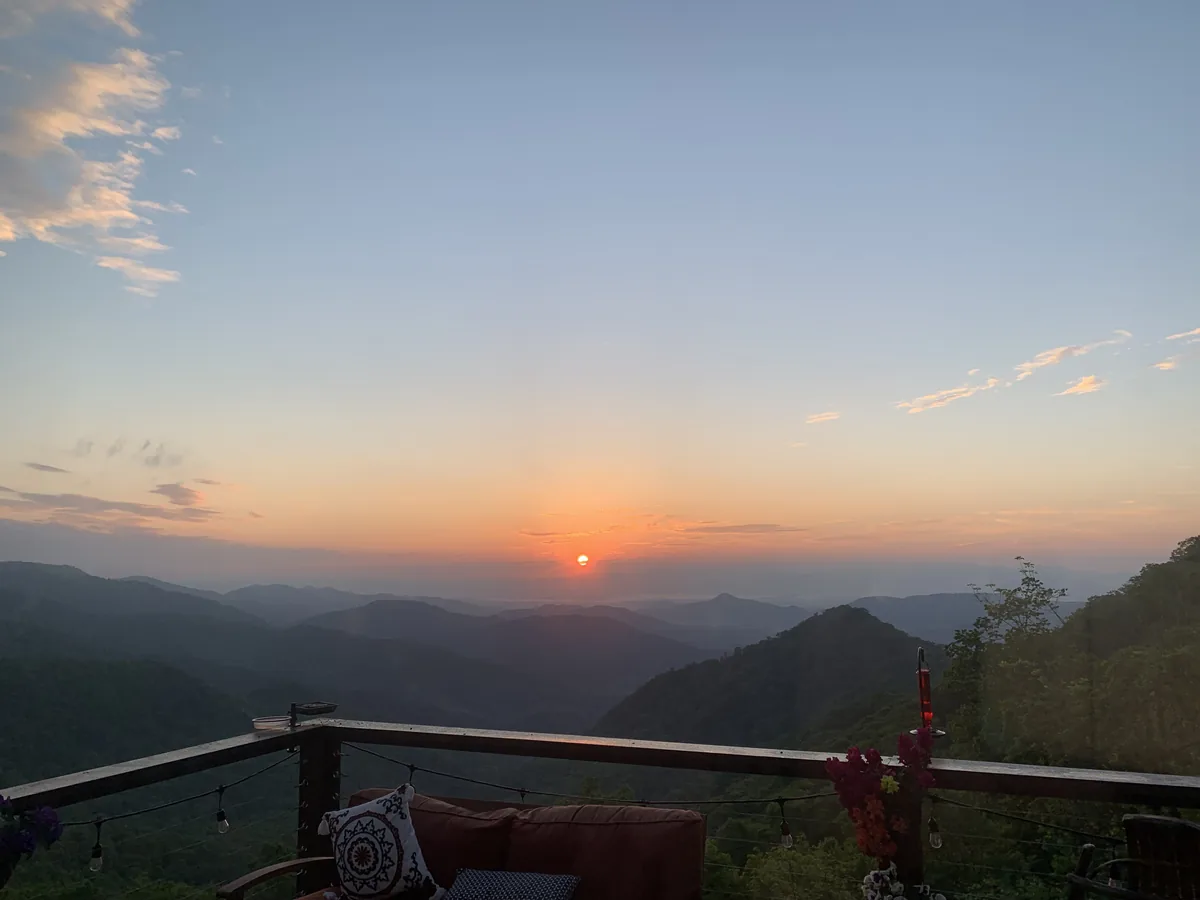
October starts with more than one version of autumn here. In its report for the week of September 28, Explore Asheville describes early patches of color at higher elevations, with most forests still green. That is a starting point for planning, not a promise of what every overlook will show.
Read the elevation, not just the calendar
In the Smokies, National Park Service guidance describes a season that generally develops high first and moves downward over several weeks. This is a usual pattern, not an observation of every slope today. Exposure, rainfall and recent temperatures also matter; nearby coves and ridges need not turn together.
WNC-Life’s familiar weather zones give that difference a practical scale: Mountain is roughly 4,000 feet and Highlands about 4,100; Waynesville is around 2,700; Greater Asheville and Franklin are about 2,100, and Cherokee about 2,000. These are approximate reference elevations, not exact heights for an entire town or a selected map cell. The highest ridges rise well above them.
Use the Mountain Weather selector to compare your starting point with the area you plan to visit. A mild afternoon in the valley does not describe the wind or temperature at a high overlook.
Use the estimate with its limits in view
WNC Fall Color offers an Automated fall-color estimate. The issue checked for this story is dated October 2, 2026 and is labeled low confidence. It provides a usable seasonal comparison, but it is not verified leaf color and has not been calibrated against dated local foliage observations.
The current color outlook is driven by elevation and the seasonal model. Satellite greenness is supporting context, not a measurement of red or yellow leaves; no qualifying regional satellite-trend or measured-weather adjustment is applied in this issue. Where observational support is limited, the estimate is still model-based. Check the issue date and the “How this works” details rather than treating a colored patch as a field report.
Compare the higher Mountain and Highlands areas with Waynesville, Greater Asheville, Cherokee and Franklin in the explorer. Look for the broader progression, not a guaranteed peak day. New reports and the view on the ground may differ from a low-confidence estimate.
Make access part of the outing
Start at the Outdoors desk and Parkway conditions links. The Park Service’s current road-status table is the place to check closures and detours before leaving. Foliage estimates do not tell you whether a road, trail or facility is open.
Leave room for a shorter route if weather or access changes. Then use the WNC events calendar to see what else is happening nearby, and confirm times with the official source. An October day need not depend on one overlook or one promised color date.
Editorial review: October 2, 2026. Current context: Explore Asheville’s report for the week of September 28 and WNC-Life’s October 2 automated outlook. NPS Smokies fall-color guidance supplies the general elevation pattern, not a 2026 field report. Agency access pages remain the authority for travel conditions. This is original WNC-Life editorial writing; no third-party photographs, maps or article bodies are reproduced.