
Blue Ridge Parkway road status
The National Park Service maintains a milepost-by-milepost table of closures, partial closures and detours. It is the source to check on the day of travel.
Open current road statusThe outside desk · October
Leaf season is a moving picture, from the higher ridges to the valleys. Start with the October field notes and automated fall-color estimate, then check weather and agency access reports before choosing a route.
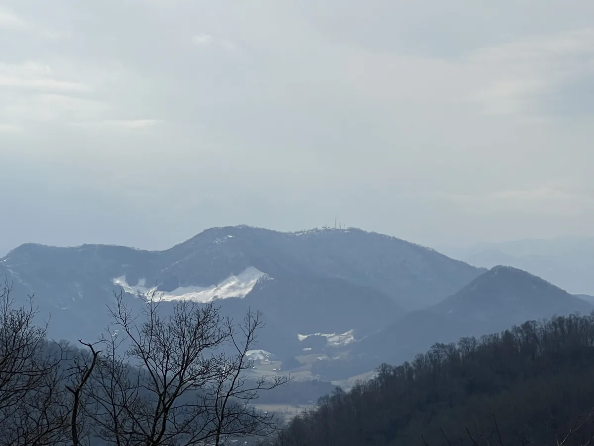
Check before the drive
Helene repairs, construction and weather continue to affect sections of the Blue Ridge Parkway.
The National Park Service maintains a milepost-by-milepost table of closures, partial closures and detours. It is the source to check on the day of travel.
Open current road statusNPS trail tables flag current closures and warn that storm damage may create hazards that are not always visible and can change with the weather.
Check N.C. Parkway trailsWaterfall notebook
Not a promise of access: use the linked agency page for the latest road, trail and facility status.
A 2.5-mile loop leads to a 60-foot cascade. Check Parkway access and trail conditions before setting out.
NPS waterfall guideA popular Pisgah National Forest roadside waterfall off U.S. 276. Parking is limited; never park in the road.
NPS waterfall guideA strenuous three-mile round trip crossing from Gorges State Park onto Forest Service land. Stop at the visitor center for updates.
Forest Service trail pageParks & access
Reservation rules, closures and access directions are not static—follow the operating agency.
The main Chimney Rock access is open daily with timed-entry reservations required. Eagle Rock access remains closed until further notice; the park points visitors to Lake Lure for related local updates.
Current state park information →For an October summit visit, check the state park’s current access, facility hours and seasonal notices alongside Parkway road status. Do not assume an open overlook means all facilities are operating.
Current state park information →For Haywood-side mountain trips, use the national park’s current conditions page for roads, facilities, trails and weather-related notices.
Smokies conditions →Forest roads, recreation sites and trails are managed separately from the Parkway and state parks. Confirm the responsible agency before relying on an update.
Pisgah recreation information →Wild neighbors · 24 photographs
A closer look at mountain wildlife, photographed by SV Media Services.
Your mountain forecast
Compare the Mountain, Highlands, Waynesville, Greater Asheville, Cherokee and Franklin weather zones before you leave. A valley forecast is not a ridge forecast; the existing selector uses these named locations without collecting your personal location.
Open mountain weatherTrip checklist